Early Printed Maps of Canada de Early Printed Maps of Canada Vol. III 1703-1799 - 1997
de Early Printed Maps of Canada Vol. III 1703-1799
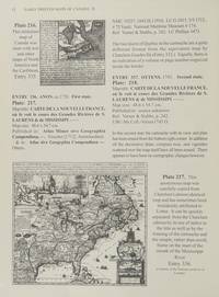
Foto de archivo: la portada puede ser diferente
Early Printed Maps of Canada
de Early Printed Maps of Canada Vol. III 1703-1799
- Usado
- very good
- Tapa dura
- First
Kershaw Pub, 1997. First Edition. Hardcover. very Good/Very Good. 0x0x0. this copy has a solid tight binding with clean u unmarked pages, light bit of edge wear to the dj from the shelf....Maps of Eastern Canada & Newfoundland, The Maritimes, Nova Scotia, Halifax, Prince Edward Island, Sable Island, Cape Breton, Louisbourg & The Great Lakes.
-
Librería
Independent bookstores
 (CA)
(CA)
- Formato/Encuadernación Tapa dura
- Estado del libro Usado - very Good
- Estado de la sobrecubierta Very Good
- Cantidad disponible 1
- Edición First Edition
- Encuadernación Tapa dura
- ISBN 10 096971842X
- ISBN 13 9780969718420
- Editorial Kershaw Pub
- Fecha de publicación 1997
- Tamaño 0x0x0
- X weight 0 oz
- Size 0x0x0
