Ver a tamaño completo.
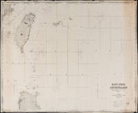
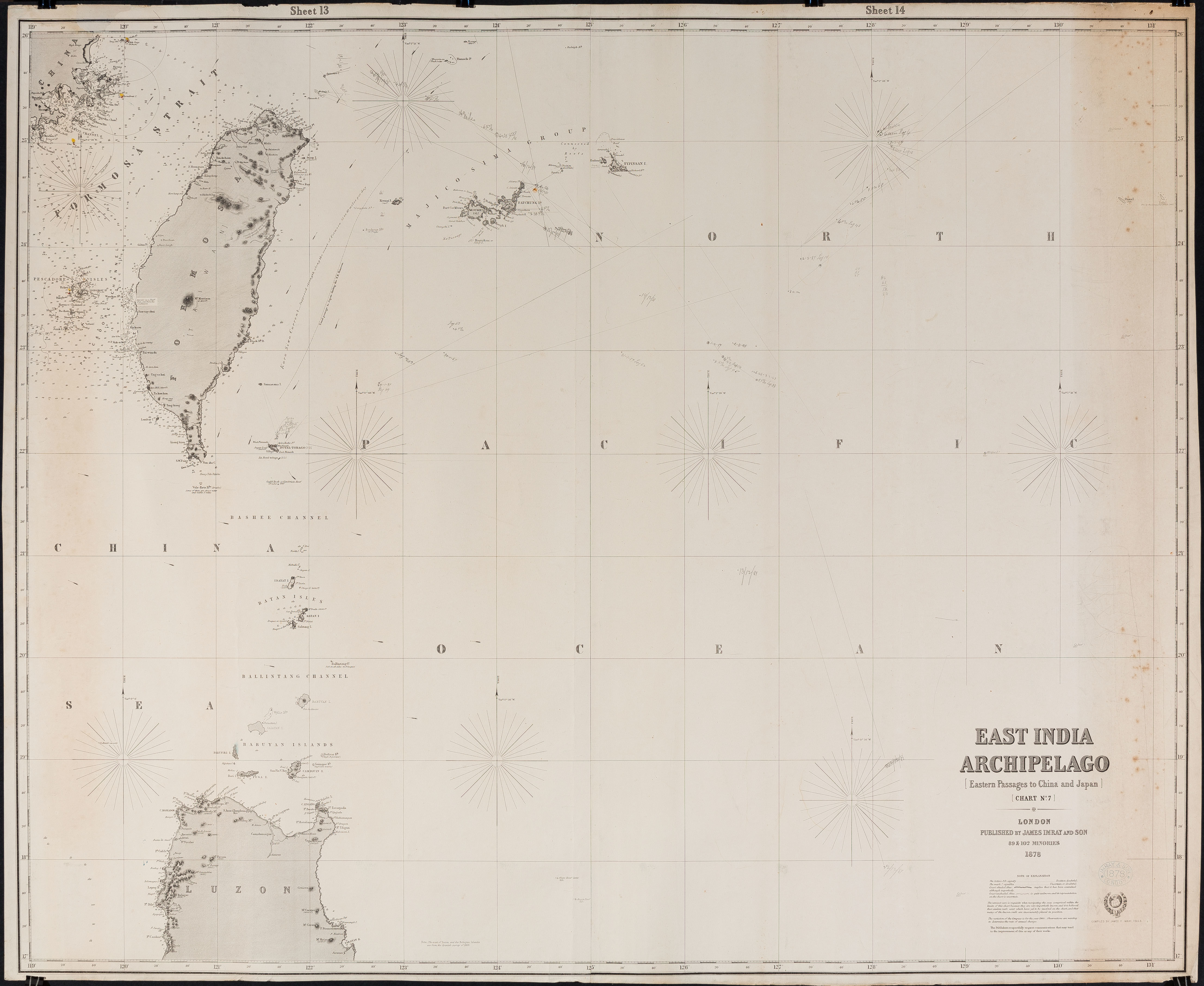
East India Archipelago Chart No. 7 (1878): Formosa
de James Imray and Son
- Usado
- Estado
- Ver descripción
- Librería
-
FRAMINGHAM, Massachusetts, United States
Formas de pago aceptadas
Sobre este artículo
Chart Details:
black and white engraving, navigation lights marked with red and yellow, blue backed
Blue ink stamp next to title block: "Imray & Son London 1878"
Publisher's original paper label glued to back of chart
condition: as found rolled, top left corner approx. 2" piece missing that includes some of perimeter printed border of chart, overall a clean chart with some spotting on edges, some spotting in vicinity of title block, paper toned along right vertical edge chart, edges overall in good condition, this chart was used to plot several voyages and has manuscript pencil notes with dates
Reseñas
(¡Iniciar sesión or Crear una cuenta primero!)
Detalles
- Librería
- Original Antique Maps
 (US)
(US)
- Inventario del vendedor #
- 308
- Título
- East India Archipelago Chart No. 7 (1878)
- Autor
- James Imray and Son
- Estado del libro
- Usado
- Cantidad disponible
- 1
- Editorial
- James Imray & Son
- Lugar de publicación
- London
- Fecha de publicación
- 1878
- Peso
- 0.00 libras
- Palabras clave
- British Admiralty, Formosa, Taiwan, 19th c. Straits of Formosa
Términos de venta
Original Antique Maps
30 day return guarantee, with full refund including original shipping costs for up to 30 days after delivery if an item arrives misdescribed. If an item arrives damaged, please contact Original Antique Maps immediately to report the damage and discuss whether the original shipping materials may still be used to return the item and for return shipping instructions. Original Antique Maps will fully refund buyer's payments and pay for the return shipping of any damaged item. Buyer will be paid following receipt by Original Antique Maps of the returned item. Otherwise, returns as per www.spackantiquemaps.com.Buyer will be advised of shipping and handling charges that exceed standard charges to buyer.
Sobre el vendedor
Original Antique Maps
Miembro de Biblio desde 2020
FRAMINGHAM, Massachusetts
Sobre Original Antique Maps
Rare and unusual 18th and 19th century Americana, American and International maps, atlases, prints, nautical charts and manuscript maps. My interests include American 19th century newspapers and manuscript materials such as letters. Maps of the 20th c. including advertising, transit and urban planning are of special interest. Original art on paper in its many forms, including posters and field studies for ultimate print publication.
Glosario
Algunos términos que podrían usarse en esta descripción incluyen:
Categorías de este libro
Also Recommended
-

-
-
-
-

¡Ahorra un 10% en cada compra!
Únete al Biblioclub y empieza a ahorrar un 10% enn todas tus compras.
$29.95 / Año