
Ver a tamaño completo.
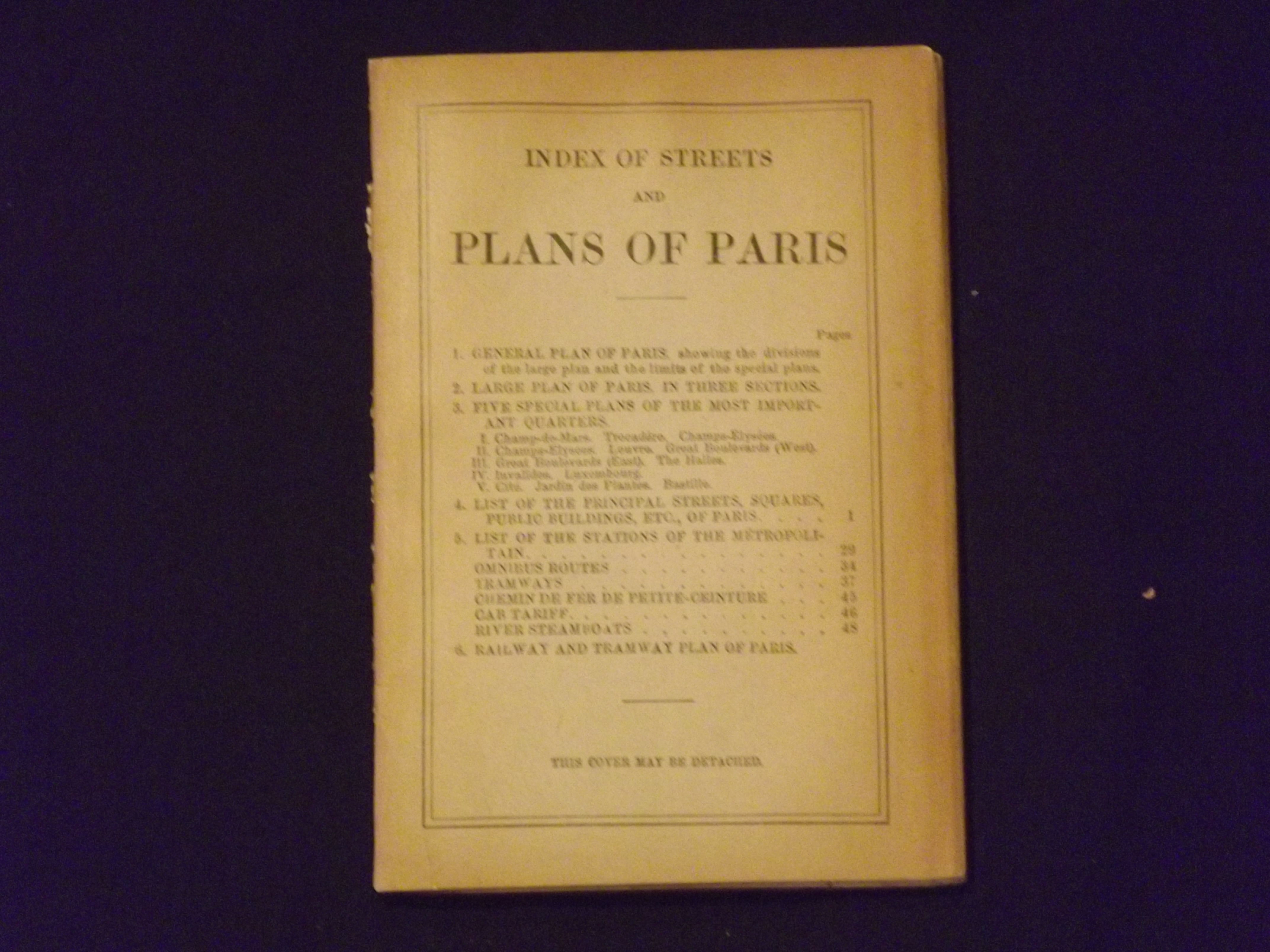
Index of Streets and Plans of Paris.
de Baedeker, Karl
- Usado
- Estado
- Ver descripción
- Librería
-
Florham Park, New Jersey, United States
Formas de pago aceptadas
Sobre este artículo
16mo (4 1/4" x6 1/4"), softcovers, color folding maps. 48 pp. Spine a little frayed, missing rear map, some darkening to covers, a couple of minor margin tears, last page a little loose, normal aging; otherwise, considering the item, this is in very good plus condition. This copy contains 9 folding color maps of Paris, including one showing railroads. While the accompanying text is in English the maps are in French.
Reseñas
(¡Iniciar sesión or Crear una cuenta primero!)
Detalles
- Librería
- Nicholas D. Riccio Rare Books & Prints
 (US)
(US)
- Inventario del vendedor #
- 106327
- Título
- Index of Streets and Plans of Paris.
- Autor
- Baedeker, Karl
- Estado del libro
- Usado
- Cantidad disponible
- 1
- Editorial
- Karl Baedeker,
- Lugar de publicación
- Leipzig:
- Fecha de publicación
- 1907.
- Palabras clave
- Map of Paris.
Términos de venta
Nicholas D. Riccio Rare Books & Prints
30 day return guarantee, with full refund including shipping costs for up to 30 days after delivery if an item arrives misdescribed or damaged.
Sobre el vendedor
Nicholas D. Riccio Rare Books & Prints
Miembro de Biblio desde 2011
Florham Park, New Jersey
Sobre Nicholas D. Riccio Rare Books & Prints
Established in 1999 we specialize in Americana, African Americana, Natural History, Travel & Exploration, Science & Medicine, and Maps & Atlases
Glosario
Algunos términos que podrían usarse en esta descripción incluyen:
- Spine
- The outer portion of a book which covers the actual binding. The spine usually faces outward when a book is placed on a shelf....