Descripción:
National Academies Press, 2004-04-27. Paperback. Good.
Water Resources Development In Idaho de The Corps of Engineers - 1975
de The Corps of Engineers

Water Resources Development In Idaho
de The Corps of Engineers
- Usado
- Tapa blanda
US Army Corps of Engineers. pb sl sw ow VG. 1975.
-
Librería
Independent bookstores
 (US)
(US)
- Estado del libro Usado - pb sl sw ow VG
- Encuadernación Tapa blanda
- Editorial US Army Corps of Engineers
- Fecha de publicación 1975
- Palabras clave Idaho, Water, Engineers

Foto de archivo: la portada puede ser diferente
Review of the U.S. Army Corps of Engineers Restructured Upper Mississippi River-Illinois Waterway Feasibility Study
de Committee to Review the Corps of Engineers Restructured Upper Mississippi River-Illinois Waterway Feasibility Study; National Research Council
- Usado
- good
- Tapa blanda
- Estado
- Usado - Good
- Encuadernación
- Paperback
- ISBN 10 / ISBN 13
- 9780309091336 / 0309091330
- Cantidad disponible
- 1
- Librería
-
HOUSTON, Texas, United States
- Precio
-
EUR 20.64
Mostrar detalles
Precio
EUR 20.64

Foto de archivo: la portada puede ser diferente
Camping with the Corps of
de Camping with the Corps of Engineers Engineers
- Usado
- Estado
- Used - Good
- ISBN 10 / ISBN 13
- 9780937877456 / 093787745X
- Cantidad disponible
- 1
- Librería
-
Fairport, New York, United States
- Precio
-
EUR 18.54
Mostrar detalles
Descripción:
Used - Good. Book is in standard used condition. The binding is tight, but the cover and edges may have significant wear. Supplemental materials may not be valid. 100% Money Back Guarantee. Ships fast from Amazon! UNMARKED copy. Book is in standard used condition. The binding is tight, but the cover and edges may have significant wear. Supplemental materials may not be valid. 100% Money Back Guarantee. Ships fast from Amazon! UNMARKED copy.
Precio
EUR 18.54
Engineering manual, civil works construction, Part 114: Hydrologic and hydraulic analyses, Chapter 9: Computation of backwater curves in river channels
de DEPARTMENT OF THE ARMY, CORPS OF ENGINEERS
- Usado
- good
- Tapa blanda
- Estado
- Usado - Good
- Encuadernación
- Paperback
- Cantidad disponible
- 1
- Librería
-
Winchester, Virginia, United States
- Precio
-
EUR 18.79
Mostrar detalles
Descripción:
GPO, 1952. Paperback. Good. Staplebound softcover, light soiling to cover. Cover has owner's name and address. Contents clean. B&w illustrations, references.
Precio
EUR 18.79
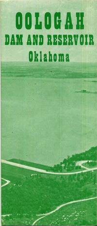
Oologah Dam and Reservoir Oklahoma Map
de Department of the Army Tulsa District Corps of Engineers
- Usado
- very good
- Estado
- Usado - Very Good
- Cantidad disponible
- 1
- Librería
-
Tulsa, Oklahoma, United States
- Precio
-
EUR 18.79
Mostrar detalles
Descripción:
Department of the Army Tulsa District Corps of Engineers, 1970-01-01. Map. Very Good. 1970. Ships next day. Map is in very good shape; no tears, scribbles, highlighting or underlining; a little general wear; from a smoke-free environment.
Precio
EUR 18.79

Chouteau and Newt Graham Locks and Dams Single Sheet Map
de Department of the Army Tulsa, Oklahoma District Corps of Engineers
- Usado
- good
- Estado
- Usado - Good
- Cantidad disponible
- 1
- Librería
-
Tulsa, Oklahoma, United States
- Precio
-
EUR 18.79
Mostrar detalles
Descripción:
Department of the Army Tulsa, Oklahoma District Corps of Engineers. Good. Ships next day. Map is in good shape, no scribbles, highlighting or underlining, has a little nick on the top, a little general wear, from a smoke-free environment.
Precio
EUR 18.79
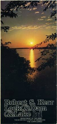
Robert S. Kerr Lock and Dam and Lake Oklahoma Map
de Department of the Army Tulsa District Corps of Engineers
- Usado
- very good
- Estado
- Usado - Very Good
- Cantidad disponible
- 1
- Librería
-
Tulsa, Oklahoma, United States
- Precio
-
EUR 18.79
Mostrar detalles
Descripción:
Department of the Army Tulsa District Corps of Engineers, 1978-01-01. Map. Very Good. 1978. Ships next day. Map is in very good shape; no tears, scribbles, highlighting or underlining; a little general wear; from a smoke-free environment.
Precio
EUR 18.79
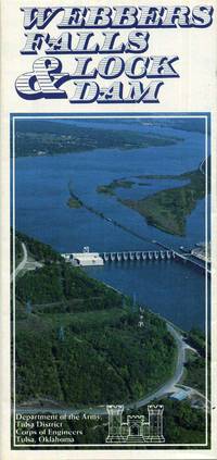
Webbers Falls Lock and Dam Oklahoma Lake Map
de Department of the Army Tulsa District Corps of Engineers
- Usado
- very good
- Estado
- Usado - Very Good
- Cantidad disponible
- 2
- Librería
-
Tulsa, Oklahoma, United States
- Precio
-
EUR 18.79
Mostrar detalles
Descripción:
Department of the Army Tulsa District Corps of Engineers, 1970-01-01. Map. Very Good. 1970. Ships next day. Map is in very good shape; no tears, scribbles, highlighting or underlining; a little general wear; from a smoke-free environment.
Precio
EUR 18.79
Geological Investigation of the Atchafalaya Basin and the Problem of Mississippi River Diversion. Volume I.
de Harold N. Fisk and others and the United States Army Corps of Engineers
- Usado
- very good
- Tapa blanda
- Estado
- Usado - Very Good
- Encuadernación
- Paperback
- Cantidad disponible
- 1
- Librería
-
Stephenville, Texas, United States
- Precio
-
EUR 20.62
Mostrar detalles
Descripción:
United States Army Corps of Engineers. , 1962. Book. Very Good. Soft cover. ORIGINAL 1952 PUBLICATION; ex-library; a couple of nicks on paper covering of spine; light browning of covers and leaves, o/w contents in very good condition..
Precio
EUR 20.62
THE INTRACOASTAL WATERWAY: PART I ATLANTIC SECTION
de Department of The Army Corps of Engineers
- Usado
- very good
- Tapa dura
- Estado
- Usado - Very Good
- Encuadernación
- Hardcover
- Cantidad disponible
- 1
- Librería
-
Columbus, Ohio, United States
- Precio
-
EUR 23.02
Mostrar detalles
Descripción:
No Place: No Publisher. Very Good. 1948. Hardcover. January, 1948. With many fold-out maps and charts. In the original, lightly soiled, paper wraps. Front hinge is cracked but firm. .
Precio
EUR 23.02
WORLD AERONAUTICAL CHART, (304) CRATER LAKE. Elevations in Feet. Lambert Conformal Conic Projection, Standard Parallels 33o and 45o, Scale 1:1,000,000. Base No. 2 R 4.
de U.S. Geological Survey, U. S. Army Corps of Engineers, U. S. Dept. of Agriculture, Civil "Aeronautics Administration, and the U. S. Coast and Geodetic Survey
- Usado
- very good
- Estado
- Usado - Very Good
- Edición
- 5th or later Edition
- Cantidad disponible
- 1
- Librería
-
North Hollywood, California, United States
- Precio
-
EUR 25.51EUR 20.41¡Ahorra EUR 5.43!
Mostrar detalles
Descripción:
Washington, D.C. * * * * * : U. S. Coast and Geodetic Survey. , 1949. 5th or later Edition . No Binding. Very Good. Map: Very Good/ 1949 . Map: Very Good/ $45.77 WORLD AERONAUTICAL CHART, (304) CRATER LAKE. Elevations in Feet. Lambert Conformal Conic Projection, Standard Parallels 33o and 45o, Scale 1:1,000,000. Base No. 2 R 4. U.S. Geological Survey, U. S. Army Corps of Engineers, U. S. Dept. of Agriculture, Civil "Aeronautics Administration, and the U. S. Coast and Geodetic Survey. U. S. Coast and Geodetic Survey. 1949, September 16, 10tH Edition Tall Wide Folding Map, 28 Inches Wide X 22 Inches Tall S/c. Map Printed On Heavy Paper, Folding Map: In Very Good/ Condition. No Binding. D/j: None. This Item Will Be Sent Wrapped In Plastic, Taped Shut And In A = Padded Mailing Envelope = To Prevent Shipping Damage So That It Will Arrive In The Description Described Which Applies To This B00K, Only. = No Odors, No Writing, No Names, No Rippling, Not Stuck Together, No Book Plate, Not…
Leer más Precio
EUR 25.51EUR 20.41
¡Ahorra EUR 5.43
!